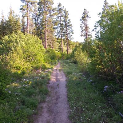
Canyon Crest Trail
This route passes a wetland that offers exceptional birding and plant diversity. From the bottom, stay right at the first road junction (.33 miles in) and in 250 feet, take the right fork at the second road junction. Stay on the road as it narrows into a single track trail. In 1.1 miles, you will intersect the Rat Creek Ridge Trail.
From Highway 2 near Safeway in Leavenworth, turn southwest onto East Leavenworth Road. In about 500 feet, take your first left onto Mountain Home Road. In 3.5 miles, you will see a sign indicating the end of the county road, and there will be a large pull out on the right side of the road – park in the pull out. The Mountain Home Ridge property is on the left side of the road. Enter the property by the old road that takes off to the east. The road is gated and property signs near the gate will let you know you are in the correct place.
| Date | Status | Condition | Description |
|---|---|---|---|
| Prevalent Mud | Winter has arrived, bike season is winding down and we know people are still itching to get out hiking and riding bikes, but please stay off trails that are snow covered or wet. Using wet trails in Central Washington create a lot of damage to our trails. |


