Devils Spur
Difficulty
Intermediate
Distance
2.1 miles
High Point
4,700 feet
Low Point
4,300 feet
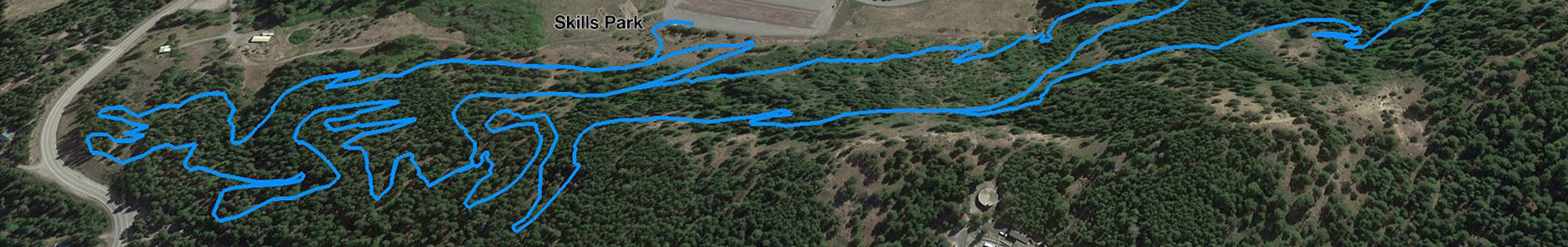
Description
This trail has moderate grades with good views of the Squilchuck Valley and beyond.
Trail Map File
Devils Gulch Area Map.pdf1.77 MB
Devils Gulch Area Map.jpg482.96 KB
This trail begins on Mission Ridge Road just before the Mission Ridge Ski Area at the sharp left hand corner by the big rock and ends at the Beehive Trail #1202 where it crosses the Liberty-Beehive Road #9712.
Current Conditions